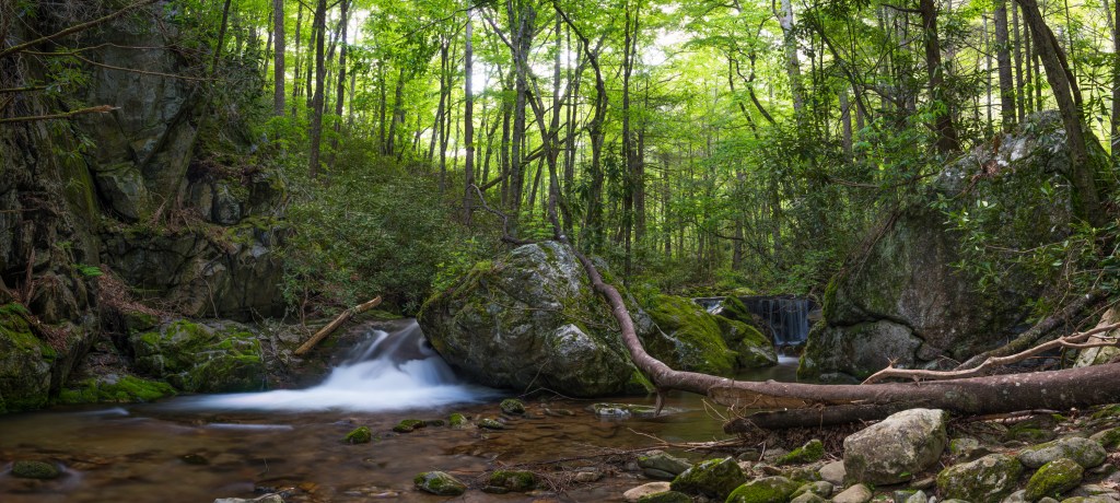
The Rocky Fork Journal is a collection of information about the Rocky Fork Watershed including the history of the land and events there; the hiking trails; flora and fauna; and plans for development within the watershed. The Rocky Fork Journal includes information gathered specifically for inclusion here as well as previously published materials that may be of interest to those who visit the area.
The Rocky Fork Watershed is generally considered to be the 10,000-acre parcel of land purchased for public use in 2008. However, a portion of that land does drain into Lower Higgins Creek rather than Rocky Fork Creek, and other adjacent lands like The Sampson Mountain Wilderness and Cherokee National Forest are also easily reached on a day hike in Rocky Fork, and so all those areas are within the reach of the Rocky Fork Journal.

Land within the reach of the Rocky Fork Journal may be part of Cherokee National Forest, Sampson Mountain Wilderness Area, Rocky Fork State Park, Cherokee Wildlife Management Area, Bald Mountains Roadless Area, Unicoi Bear Reserve, or the Appalachian Trail Corridor, therefore, with so many sources of information, the journal hopes to simplify an understanding of the watershed by getting information under one roof.
All the land covered here is publicly owned and belongs to all of us. The public paid for these lands and will pay for any development carried out on them, and thus is entitled to know and provide input on any plans made. Those plans are not always shared with or made easily accessible to the public, and so the Rocky Fork Journal seeks to provide as much of that information as possible so the public can be informed of plans for the area and how to be involved and/or provide input for those plans.
