
Rocky Fork is Appalachia at its very best. Part of Cherokee National Forest, the 10,000-acre Rocky Fork watershed is about the size of DuPont State Forest in Henderson and Transylvania counties of North Carolina. It adjoins the Bald Mountain Roadless Area, the largest area of its kind between Great Smoky Mountains and Shenandoah national parks.
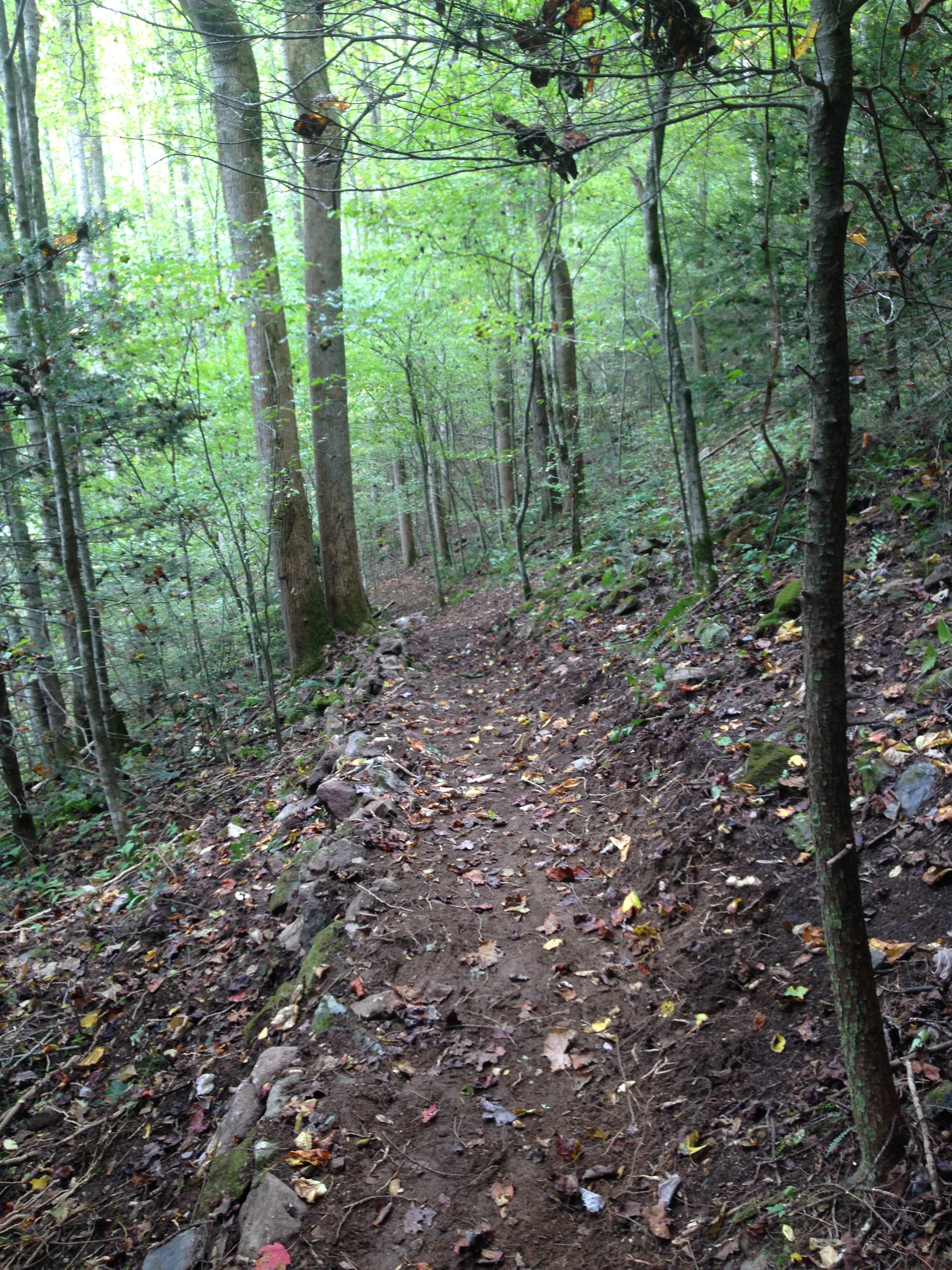
The property’s former owner was a timber company whose logging tracks crisscross the property in a network of unimproved, overgrown woods roads, ideal for hiking and exploring the remote backcountry. Many of these trails are suitable for mountain biking and horseback riding; some are only fit for foot traffic to protect the many fragile streams and springs.
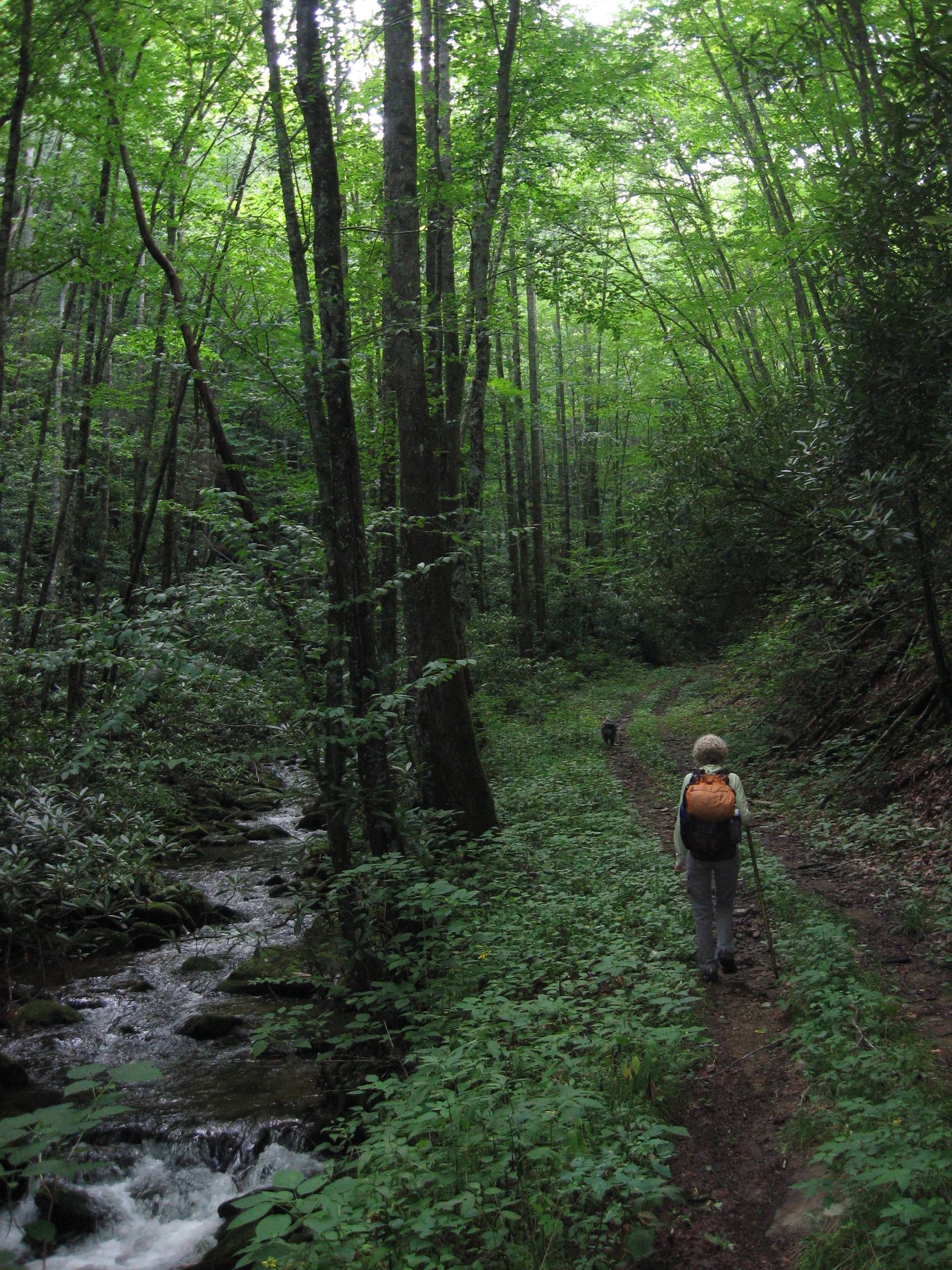
Nestled in wilderness, national forest, and the AT, the Rocky Fork tract has the potential to become a mecca for trail users with almost limitless options. A number of trails originate in the park and continue into the Cherokee National Forest. Some loop back to the park and others traverse the remote backcountry connecting to the AT as well as to trails in the Sampson Mountain Wilderness. This allows for a wide range of choices—from short day hikes to longer loops that stretch day hikers’ limits to overnight backpacking trips with camping on Forest Service land.

For information about the 15 to 20 miles of trails within Rocky Fork State Park, visit tnstateparks.com/parks/rocky-fork. To learn about trails in the greater watershed, see a USGS (Flag Pond) topo map or National Geographic Trails Illustrated No. 782: French Broad and Nolichucky Rivers.
