
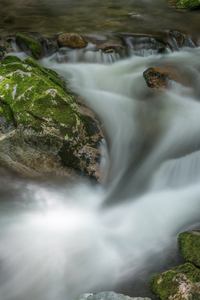
The 10,000-acre Rocky Fork tract is a large basin, an entire watershed surrounded by high ridges, the cleanest tributary in the Nolichucky River system. Here is a brief history of the circumstances leading up to its purchase.
This land had been owned by a number of folks over the last few decades but mostly for investment purposes or timber interests. The tract was targeted for acquisition by conservation groups and the US Forest Service (USFS) for decades and was reported to be the largest tract of undeveloped land available in the southern Appalachians and number 1 on the USFS list for acquisition. Sale price at the time of various changes in ownership start around $6 million and go up to $30 million being offered by a developer in 2006 just before the acquisition by The Conservation Fund (TCF) and USFS.
It is important to note that as far back as anyone can remember the owner(s) of the tract have always allowed public use of the land for hunting, fishing, hiking, picnics, baptism in the creek etc. The public’s use had been managed by Tennessee Wildlife Resources Agency (TWRA) as part of the North Cherokee Wildlife Management Unit for decades. The tract has always been open to the public.
Efforts to acquire this tract for the public go back at least to the 1980s and involve the Southern Appalachian Highlands Conservancy (SAHC), The Appalachian Trail Conservancy (ATC), USFS, TWRA, and many others over the years. Several times a deal to acquire the tract was close to final but fell apart late in the process, so over the years many folks were involved at one time or another. The tract could have been purchased for prices that begin in the 8 to 10 million range, but a deal could not be finalized.
Just prior to acquisition by TCF and USFS, the tract was owned by New Forestry LLC, a big timber company with lots of land holdings around the region. News reports said a developer was interested in purchasing Rocky Fork for $30 million and turning it into something like the nearby Wolf Laurel development and a deal was very near to completion. This news sparked another effort to acquire it for public use.
Efforts to get the tract into public ownership heated up once again, the developer backed out, and a deal was reached for TCF and USFS to acquire the tract for a combined $40 million. The portion of the tract purchased by TCF was to be sold piece by piece to the USFS and possibly the state of Tennessee over several years time as funds became available. A deal to use up to 4,000 acres for a new state park is said to have been critical to getting the support of Unicoi County, which was worried about losing property tax revenue due to federal ownership of the land in a county already close to 50% federally owned. At the time of the purchase, the state was not ready with funding and the tract was sold piece by piece to the USFS with funds coming primarily from the Land and Water Conservation Fund. At one time, late in the game, as the USFS was buying more and more of the tract and the state was still not at the table with funds, the USFS claimed they were going to purchase all of the remaining land, but in the end the state did get back in the picture and buy 2,000 acres, establishing the new Rocky Fork State Park.
As to how the state managed to purchase this land I have information showing the following groups contributing:
- Tennessee Heritage Conservation Trust Fund Grant (obtained by SAHC)
- Federal Land & Water Conservation Fund
- Fred & Alice Stanbeck
- Lyndhurst Foundation
- National Fish & Wildlife Foundation through Wal-Mart’s Acres for America Program
- Doris Duke Foundation
- The Conservation Alliance
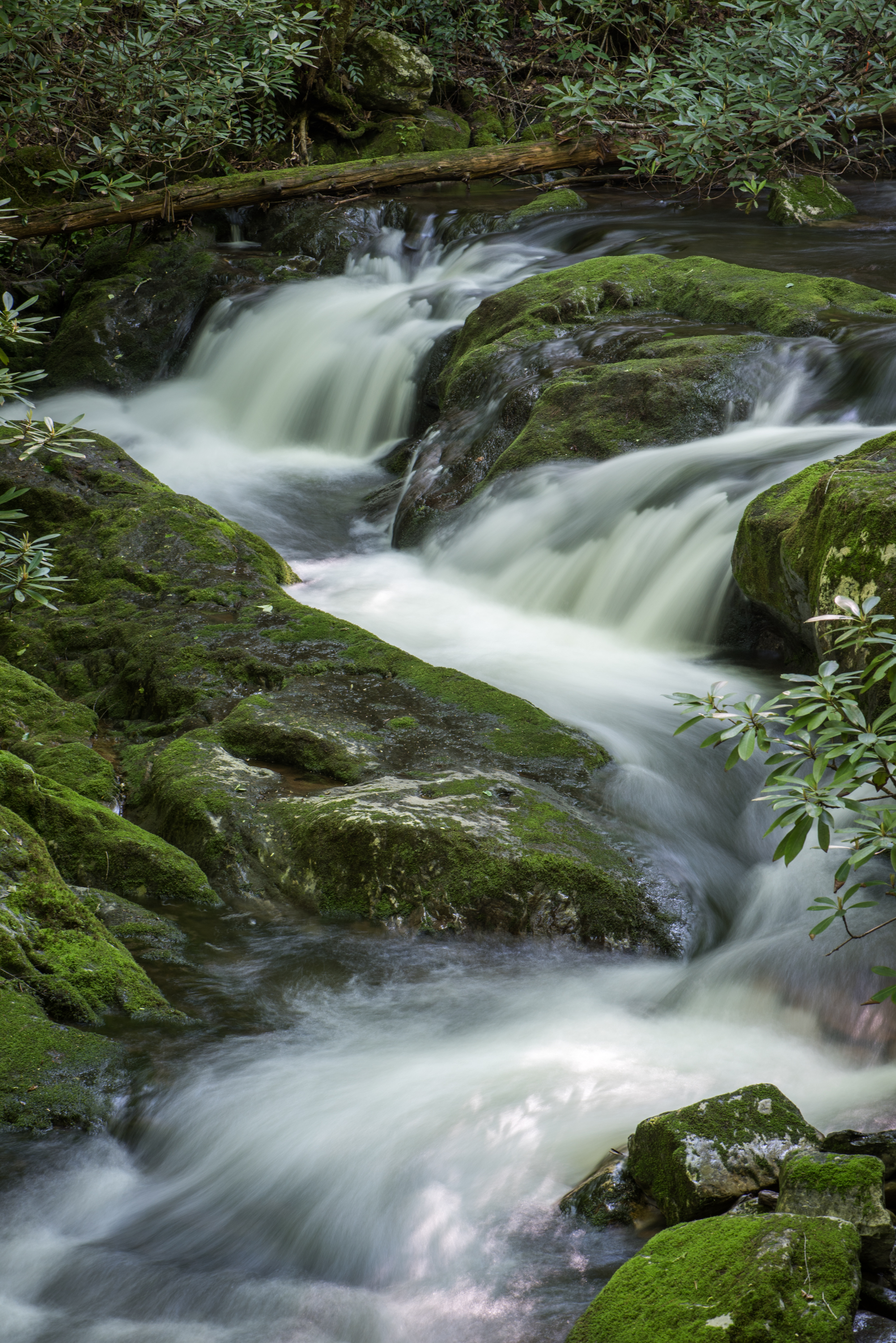
It is important to note that this 10,000-acre tract was nearly an in holding of the Cherokee National Forest being almost surrounded by national forest and wilderness lands and thus an important final piece in a big conservation puzzle. The portion of the tract acquired to become Rocky Fork State Park represents a similarly important final portion of the tract. As noted earlier, the entire 10,000-acre tract is a large basin, an entire watershed surrounded by high ridges and the cleanest tributary in the Nolichucky River system. The whole area has only one means of easy access, which is through the state park lands that lie at the mouth of this basin. Thus, throughout the process of acquiring the tract there was always much discussion about the state managing the parklands in a way that would not damage the integrity of the entire tract for visitors who would all access the area through the state park. The sales pitch from Tennessee Department of Environment and Conservation State Parks Division was for a “primitive park, minimally developed to include a visitor center/ranger station, picnic pavilions, and a primitive campground.” Public support for the park existed based on this philosophy of minimal development.
